
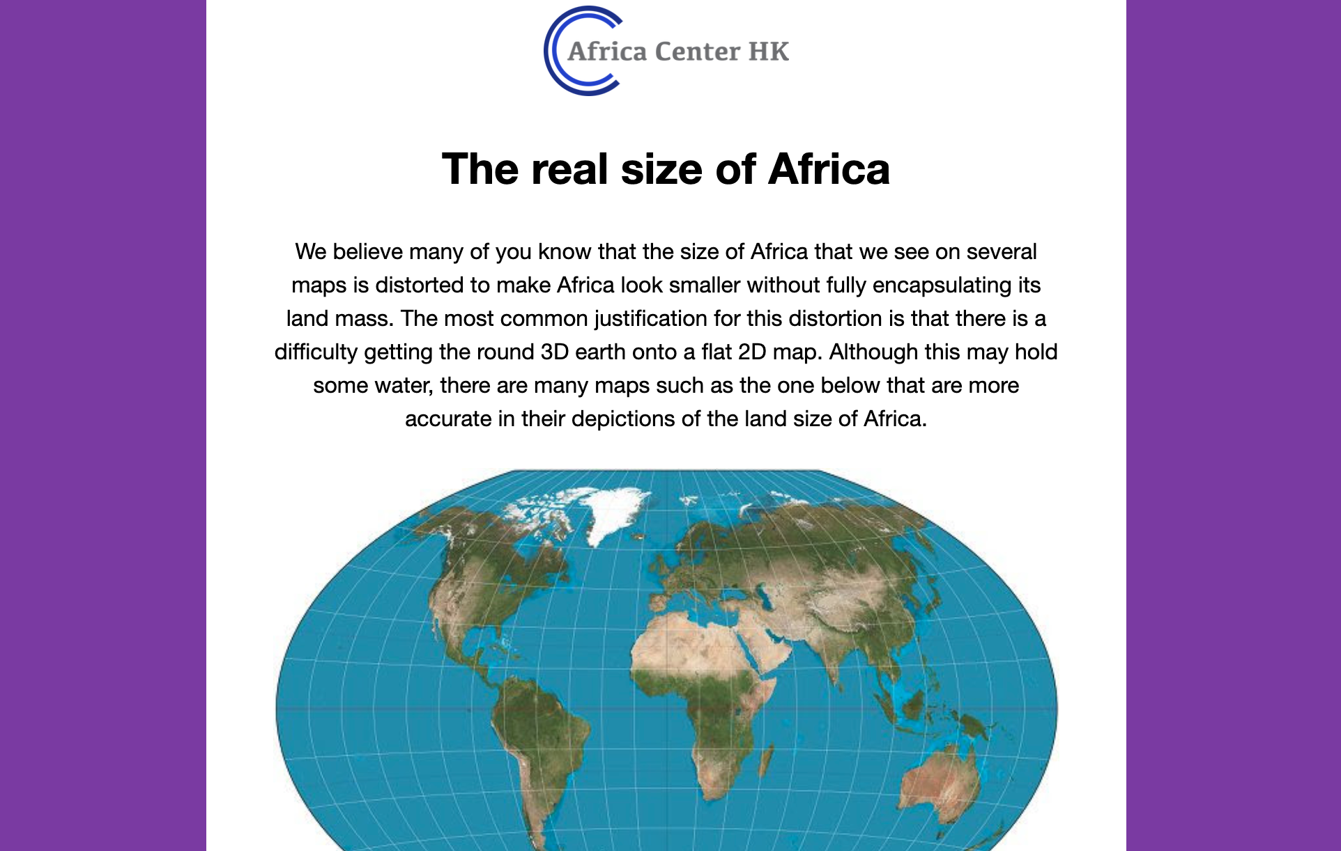
We believe many of you know that the size of Africa that we see on several maps is distorted to make Africa look smaller without fully encapsulating its land mass. The most common justification for this distortion is that there is a difficulty getting the round 3D earth onto a flat 2D map. Although this may hold some water, there are many maps such as the one below that are more accurate in their depictions of the land size of Africa.


Recent Comments